


Use the TYEarthPro to read ESRI Shapefile or spatial data from the data sheet editor , and generate KML/KMZ files which illustrate the map locations, displays images, run flyover tours, and more.
Import
• ESRI Shapefile
• Text (*.csv, *.txt) __ Create Points, Lines, Polygons, or Table Data Only
• Sample _ Points
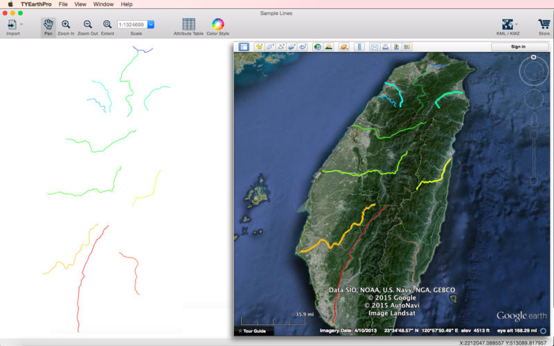
• Sample _ Lines
• Sample _ Polygons
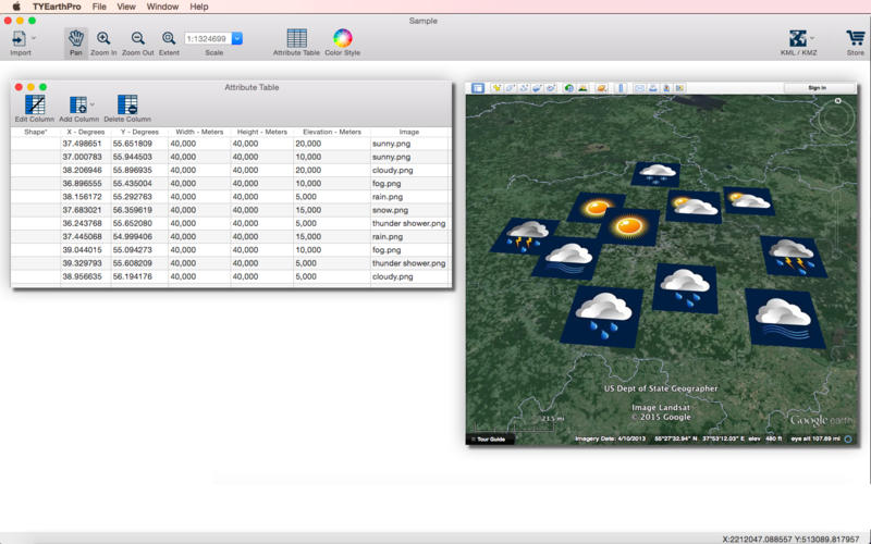
• Sample _ Table Data
KML / KMZ
• Points__Icons
• Points__Circles
• Points__Cylinders
• Lines__Lines
• Lines__Lines3D
• Polygons__Polygons
• Images__Midpoint
• Images__Two Corner Points
• Images__Time Variation
• Flyover__Looking Forward
• Flyover__Looking Midpoint
• Model